GRAND RAPIDS, Mich. (WOOD) — After a mild October and November across the Midwest, big change is on the way for Thanksgiving.
WEDNESDAY/THURSDAY: MIDWEST SNOW CHANCE
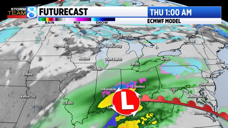
Models now indicate that the low pressure system will set up south of Michigan. Because of this, no snow is expected to accumulate in West Michigan. At most, a few showers or a light wintry mix may take shape south of I-94.
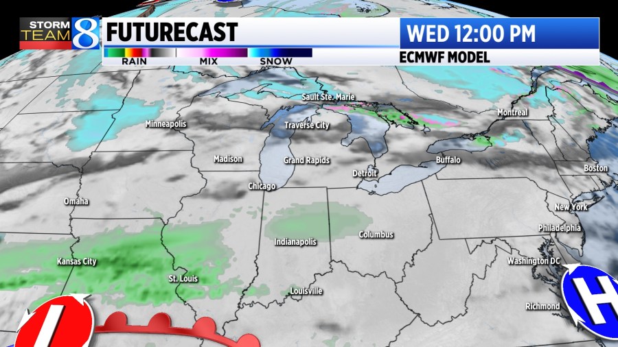
Wednesday will start off rather mild for most of the Midwest as a warm front lifts across the area. Rains showers will begin to set up with a bit of mixing taking shape early into Thanksgiving Day.
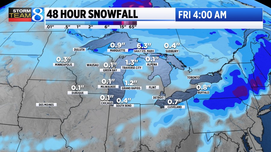
The greatest chance for accumulating snow in the Midwest remains in central Indiana, Ohio, and the Upper Peninsula. Snow totals there are expected to reach 3 to 6 inches, at most.
WEDNESDAY: NATIONAL TRAVEL
If you are hopping on a plane to get to your Thanksgiving destination, most of the country is looking quiet.
Tuesday will bring a chance for showers in the northeast, with a few lake-effect flurries lingering in northern Michigan. Heavier snow and rain is expected out west in the Rockies.
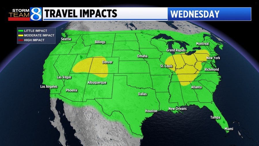
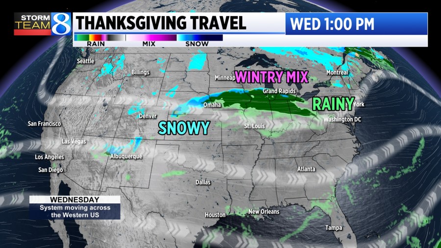
Wednesday is typically the busiest travel day of the entire year. Some issues may appear across the Midwest as heavy rain, wintry mix and snow showers develop. The remainder of the country looks fairly quiet.
POST HOLIDAY TRAVEL
Coming back to West Michigan after the Thanksgiving holiday may pose more issues. Lake effect snow chances will continue with some areas west of US-131 racking up 3 to 6 inches of snow by late Friday.

The heaviest of snow is expected to fall on Friday posing the most difficult travels then. Lingering snow continues for Saturday and Sunday with a few more inches expected. With some dry hours working in this weekend, plows will have an easier time keeping up.
Stay with Storm Team 8 for the latest on this busy holiday week.