GRAND RAPIDS, Mich. (WOOD) — After an eight day stretch of measurable snow in Grand Rapids, melting continues to kick off the week.
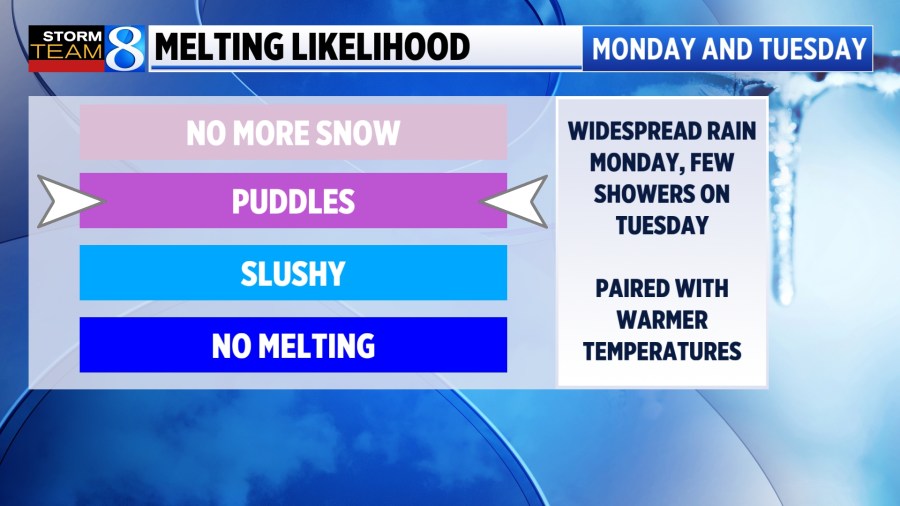
40s AND RAIN AHEAD
Temperatures begin to warm into the mid 40s on Sunday and Monday. That’s approximately five degrees above average for mid-December.

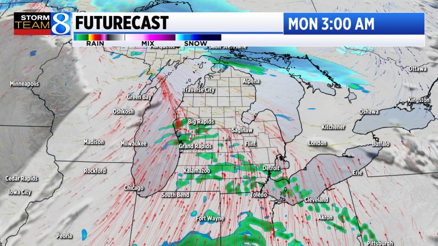
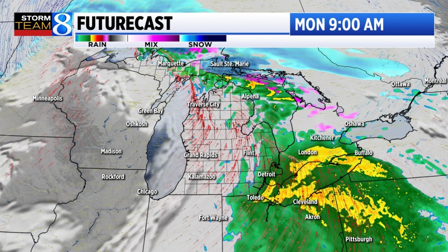
While those temperatures alone would trigger some melting to take shape, some light showers are expected to kick off Monday. Models initially indicated that portions of West Michigan could see high rain totals. As of Sunday morning, most of the heavy rain will pass off to the east.
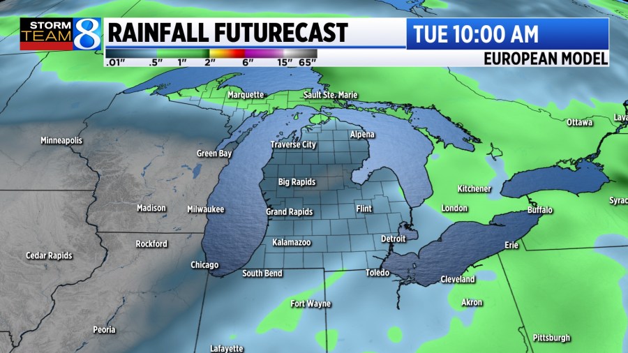
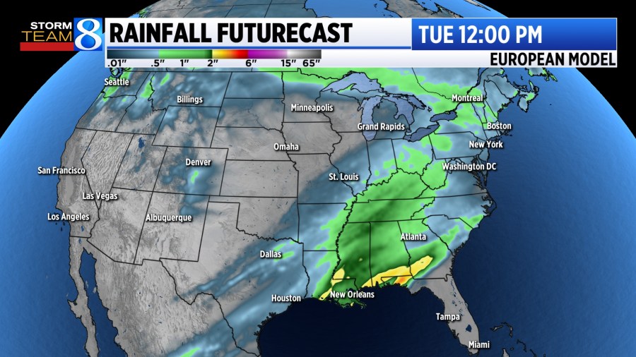
As mentioned, West Michigan will largely miss out on heavy rain totals. A trace to a tenth of an inch is expected for most. In the southern part of the country, several inches of rain is expected, which could lead to flooding concerns in Alabama, Mississippi, and Georgia.
If you are looking to get in any skiing or winter activities, more snow is on the way for the middle of the week. Stay with Storm Team 8 for the latest!